Flight Analysis & Range Guide
If you fly from New York to London today, and fly it again tomorrow, you will likely take a completely different physical path over the ocean. There are no fixed "roads" in the sky over the Atlantic. Instead, there are the North Atlantic Tracks (NATs)-a set of invisible highways that are completely redrawn every 12 hours.
The primary reason for this constant movement is wind. The Jet Stream-a high-speed river of air flowing from West to East-is constantly shifting position and intensity. Eastbound flights want to "surf" inside the strongest part of the Jet Stream to get a massive tailwind, while westbound flights want to detour hundreds of miles to avoid the headwind.
Because the middle of the Atlantic is out of range of standard land-based radar, air traffic controllers must keep planes strictly separated by time and geography. The NATs provide a structured way to funnel hundreds of planes into organized lanes. Each track is separated by exactly one degree of latitude, ensuring that even without radar, planes won't collide in the dark.
The tracks have a profound impact on an aircraft's effective range. On a day with a "slow" track (weak tailwinds), a flight might take 45 minutes longer and burn 5,000 pounds more fuel. Dispatchers must check the daily NAT broadcast before the plane even leaves the gate to ensure the aircraft has enough fuel to legally fly the assigned "highway." On PlaneRange, you can see this effect by enabling Wind Simulation and watching the range bubble distort.
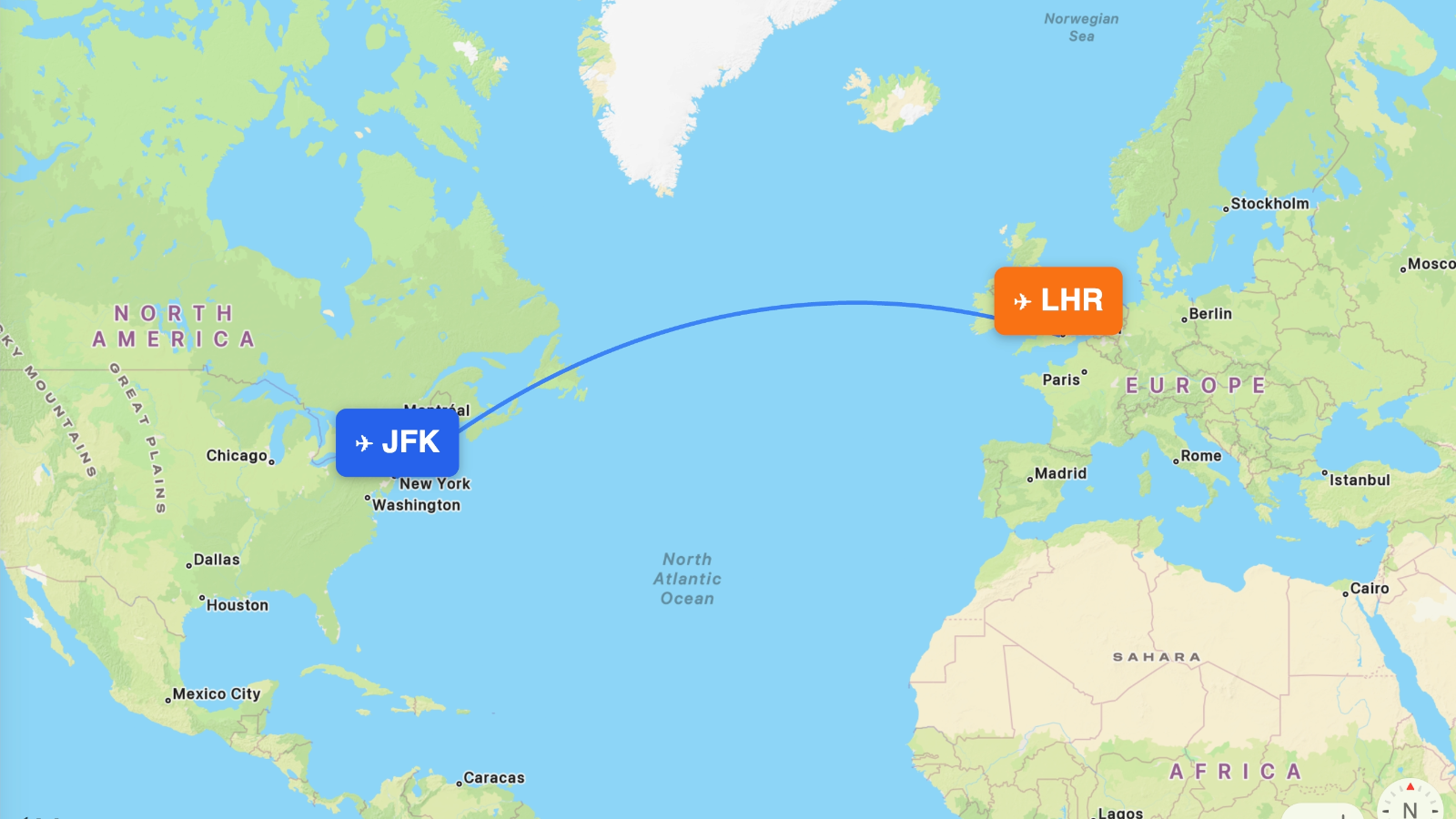
See range, specs, and airline configs on PlaneRange:
A321neo LR A321XLR A330-200 767-300ER 777-300ER 787-9 Visualize on the Map →